Low Frequency Portable Acoustic Measurement System
sensors
Low Frequency Portable Acoustic Measurement System (LAR-TOPS-13)
A system to detect and locate atmospheric clear air turbulence and severe weather
Overview
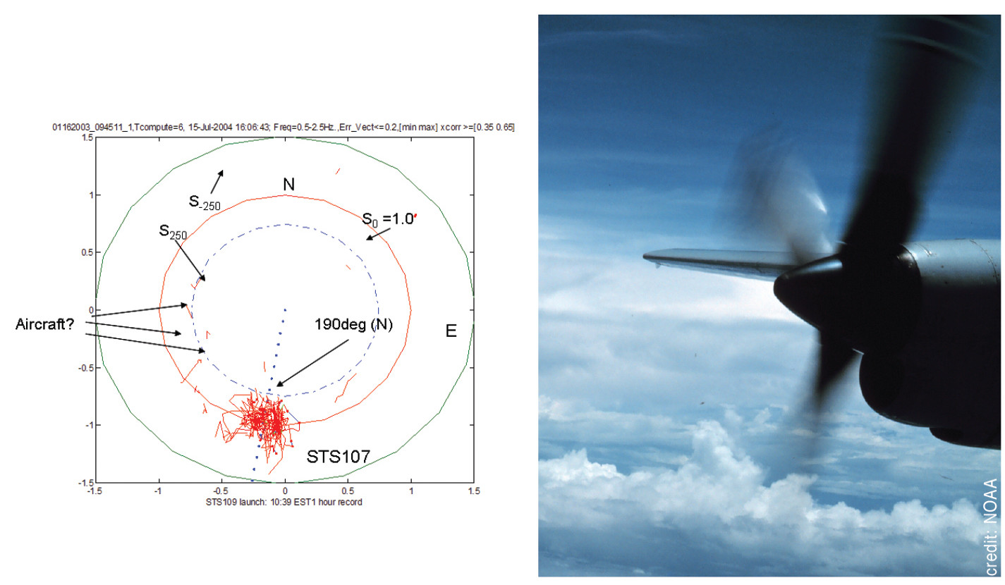
NASAs Langley Research Center has developed a system to detect and locate atmospheric clear air turbulence (CAT) by means of a ground-based infrasonic array to serve as an early warning system for aircraft. This system could augment existing systems such as pilot reports (PIREPs), airborne lidar, and airborne radar. The NASA system offers a benefit based on the fact that the existing electromagnetic methods lack targets at 30,000-40,000 ft and will not detect CAT. Because CAT and severe storms emit infrasound that propagates over vast distances through the Earths atmosphere, the Langley system offers an excellent early warning opportunity. The system has been able to detect known events - such as detection of the launch of the Space Shuttle in Florida all the way from Virginia.It also has correlated data with NOAAs PIREPs information.
The Technology
Langley has developed various technologies to enable the portable detection system, including:
- 3-inch electret condenser microphone - unprecedented sensitivity of -45 dB/Hz
- compact nonporous windscreen - suitable for replacing spatially demanding soaker hoses in current use
- infrasonic calibrator for field use - piston phone with a test signal of 110 dB at 14Hz.
- laboratory calibration apparatus - to very low frequencies
- vacuum isolation vessel - sufficiently anechoic to permit measurement of background noise in microphones at frequencies down to a few Hz
- mobile source for reference - a Helmholtz resonator that provides pure tone at 19 Hz
The NASA system uses a three-element array in the field to locate sources of infrasound and their direction. This information has been correlated with PIREPs available in real time via the Internet, with 10 examples of good correlation.


Benefits
- Robust - hardware proven in various weather conditions, and sucessful wind screening
- Portable - including detector array and field calibration
- Proven - known events detected as well as correlation with pilot-reported data via PIREPs
Applications
- Detection and location of clear air turbulence for aircraft
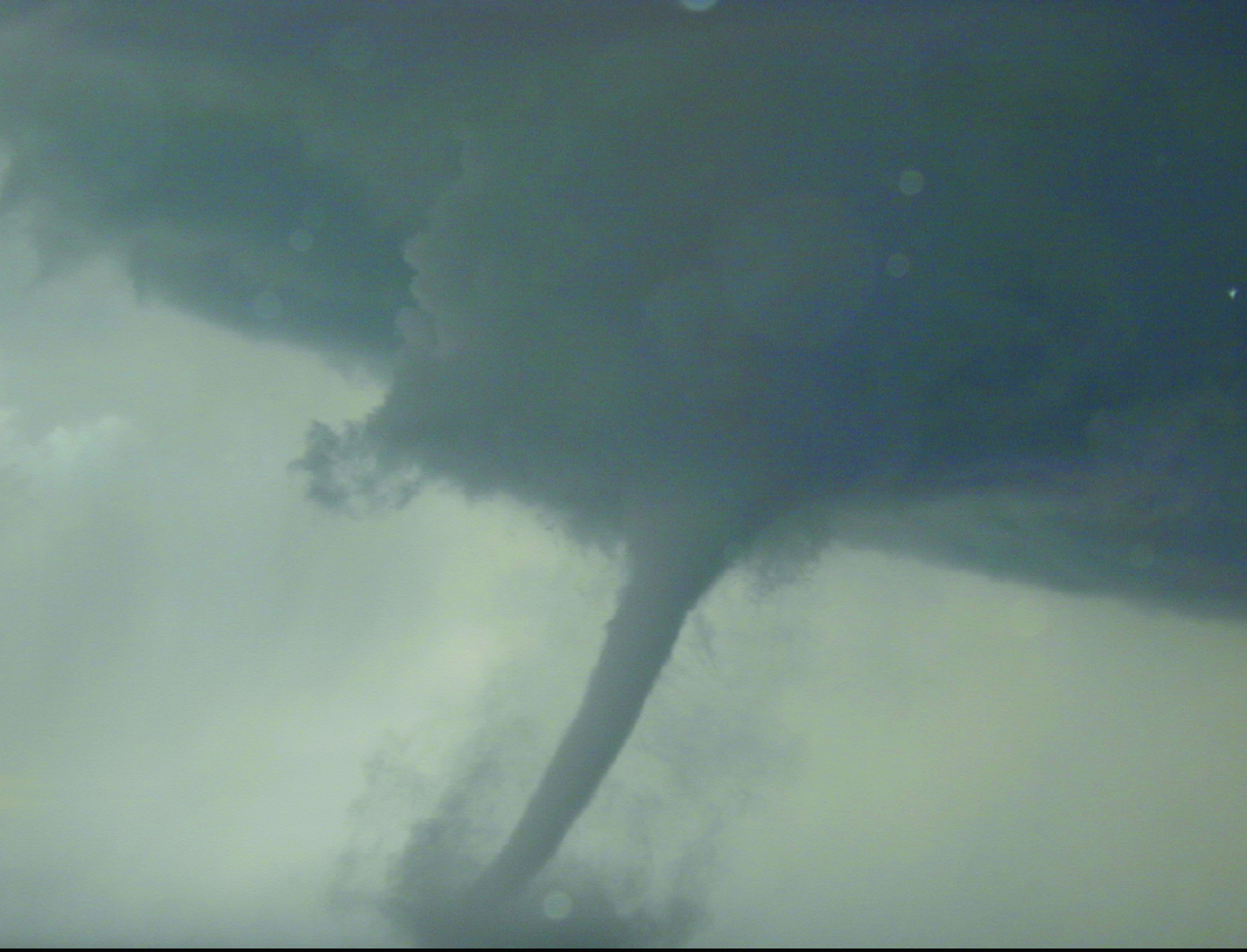
- Severe weather monitoring, including tornado chasing via portable
- infrasound array
- Remote motion detection - microphone technology
- Mine communications - infrasound travels through solid barriers
Technology Details
sensors
LAR-TOPS-13
LAR-17317-2
LAR-17317-1
LAR-17836-1
LAR-18863-1
|
Tags:
|
Similar Results

Infrasound Sensor Technology
Large aircraft can generate air vortices in their wake, turbulence that can prove hazardous to aircraft that follow too closely. Because wake vortices are invisible, all takeoffs at busy airports are spaced several minutes apart. This separation gives the vortices time to dissipate, even though they only occur 10% of the time, with resulting loss of operational efficiency. Similarly, clear air turbulence is invisible and can also be hazardous to aircraft. By detecting such disturbances through their infrasound emissions, precautions can be taken to avoid them.
Other phenomena can be detected through infrasound, including tornadoes, helicopters on the other side of mountains, underground nuclear explosions and digging tunnels. Through the unique properties of infrasound, many of these can be detected from hundreds of miles away. NASA's infrasound sensor is a highly refined microphone that is capable of detecting acoustic waves from 20 Hz down to dc, the infrasound range. The design is robust and compact, eliminating the bulk and weight found in other technologies. Where most alternative methods are restricted to certain weather conditions and locations,
the NASA sensor filters noise from wind and other sources, allowing its use under any weather or geographic conditions.

WindiWing: Atmospheric Data Collection Line Climber
This innovative kite system is called the WindiWing, and utilizes aerodynamic forces and moments to control its configuration for both ascent and descent, eliminating the need for an external power source or human intervention. By harnessing wind power, the system autonomously climbs and descends along a pilot kite line, provided sufficient wind conditions exist.
Windiwing includes a set of stops at predetermined upper and lower bounds of the kite line, which define the highest and lowest points the WindiWing can travel. When a stop is hit, the WindiWing changes direction. Therefore, it can sustain extended flight times at different altitudes. Unlike prior solutions, WindiWing is a passive line-climber operating entirely through aero-mechanical principles and does not require electrical power or active control systems for changes in lift. Instead, WindiWing continuously moves between the designated stops along the kite tether, maintaining stable and predictable movement without the need for remote operation or onboard power.
WindiWing is designed with flexibility in mind, offering the ability to carry a range of instrumentation, making it suitable for integration with kite-based systems, tethered balloons, or uncrewed aircraft platforms. The absence of electrical components reduces complexity, enhances reliability, and allows for extended atmospheric data collection with minimal oversight.
By offering a scalable, cost-effective, and power-independent solution, this technology enables long-duration atmospheric profiling at various altitudes, making it an ideal tool for researchers in the fields of atmospheric research, environmental research, and education.

Wind Event Warning System
The Wind Event Warning System (WEWS) is high-energy Doppler LIDAR sensor that measures approaching changes of wind such as an oncoming variation of wind speed that will change the power output of a wind farm. Different from low-energy, the high-energy Doppler LIDAR has the energy to reach the long distances necessary to provide adequate warning time of a wind event. With the time provided by WEWS, the blades of a wind turbine could be feathered to prevent strong wind from damaging the turbine. In addition, airports could use WEWS to protect aircraft from sudden wind hazards.

High Altitude UAV for Monitoring Meteorological Parameters
Radiosondes are launched twice a day from different locations of the world and meteorological data is collected to plot the STUV diagram and determining CAPE (Cumulative Average Potential Energy) values. Radiosondes are not re-usable and used only at pre-determined locations around the globe. Moreover, a radiosonde can drift up to 125 miles from its release point. About 75,000 radiosondes are used every year.
Given this unmet need, an inventor at NASA has developed an advanced airborne meteorological system which can provide meteorological parameters at any location at any desired time. In additional to routinely used meteorological sensors, an infrasonic sensor is also included to determine wind shear at local and regional levels. The airborne system may also be used in towns and cities to track drones and UAVs in the area. The airborne vehicle (UAV or drone) should be able to track seismic waves, magnetic storms, magneto-hydrodynamic waves, tornadoes, meteor, and lightning, etc. This technology can be use to measure environmental turbulence including wind shear, vortices as well as large and small eddies is an important factor in forecasting local and regional weather. It can also detect infrasound at ranges of many miles from the source and the shape of the acoustic power spectrum can be used to identify type of turbulence in the atmosphere.

Directional UAV Localization of Power Line Ultraviolet Corona
This technology comprises a novel system of detecting, inspecting and analyzing a corona discharge using an ultra-violet camera. It is useful for a number of potential applications, most notably, power line fault detection. The most novel feature is that it uses UV instead of IR which has been problematical for corona discharge detection because there is too much interference from other sources. UV detection offers images that isolate the location of the corona discharge with far greater precision.


